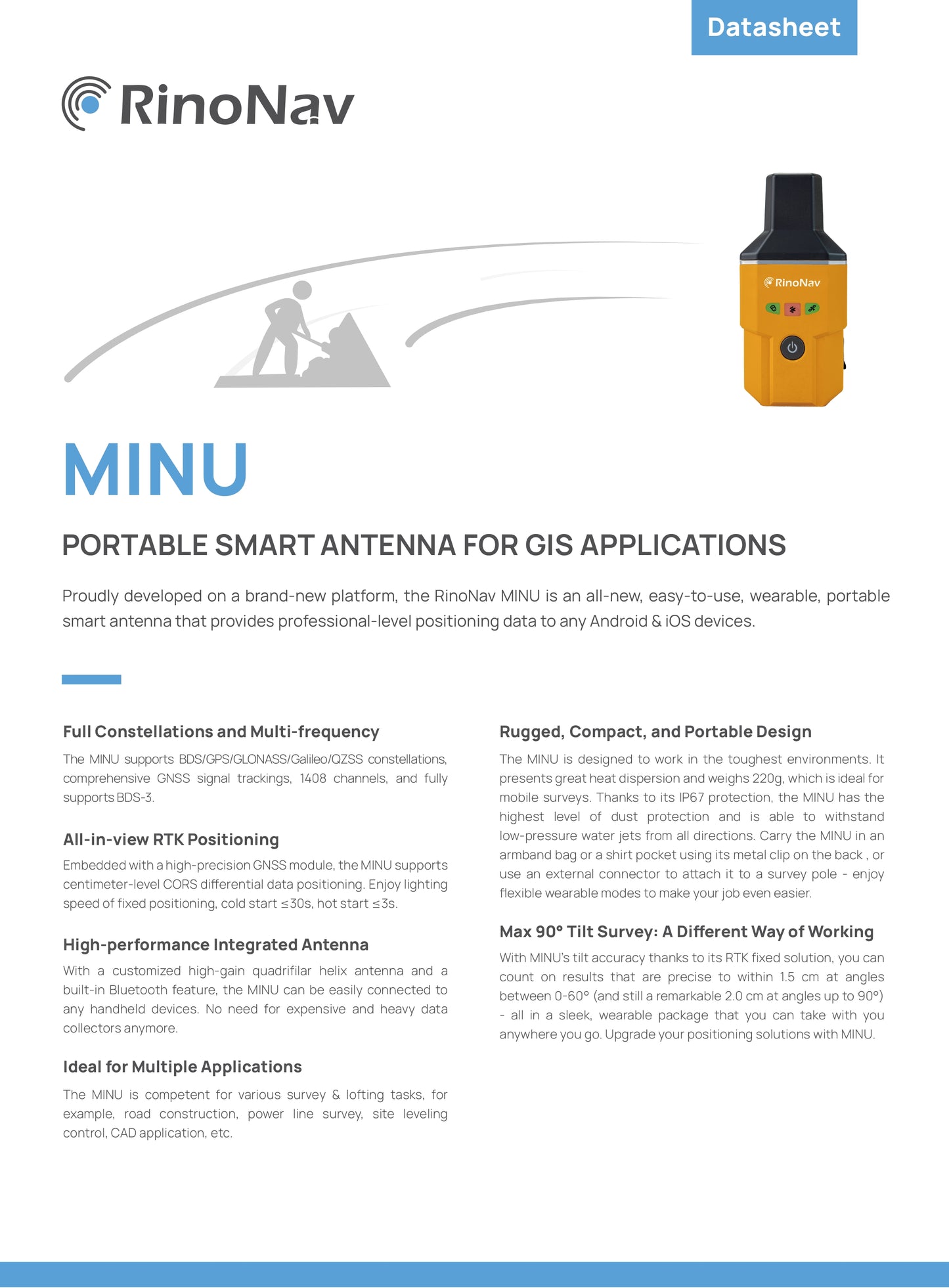
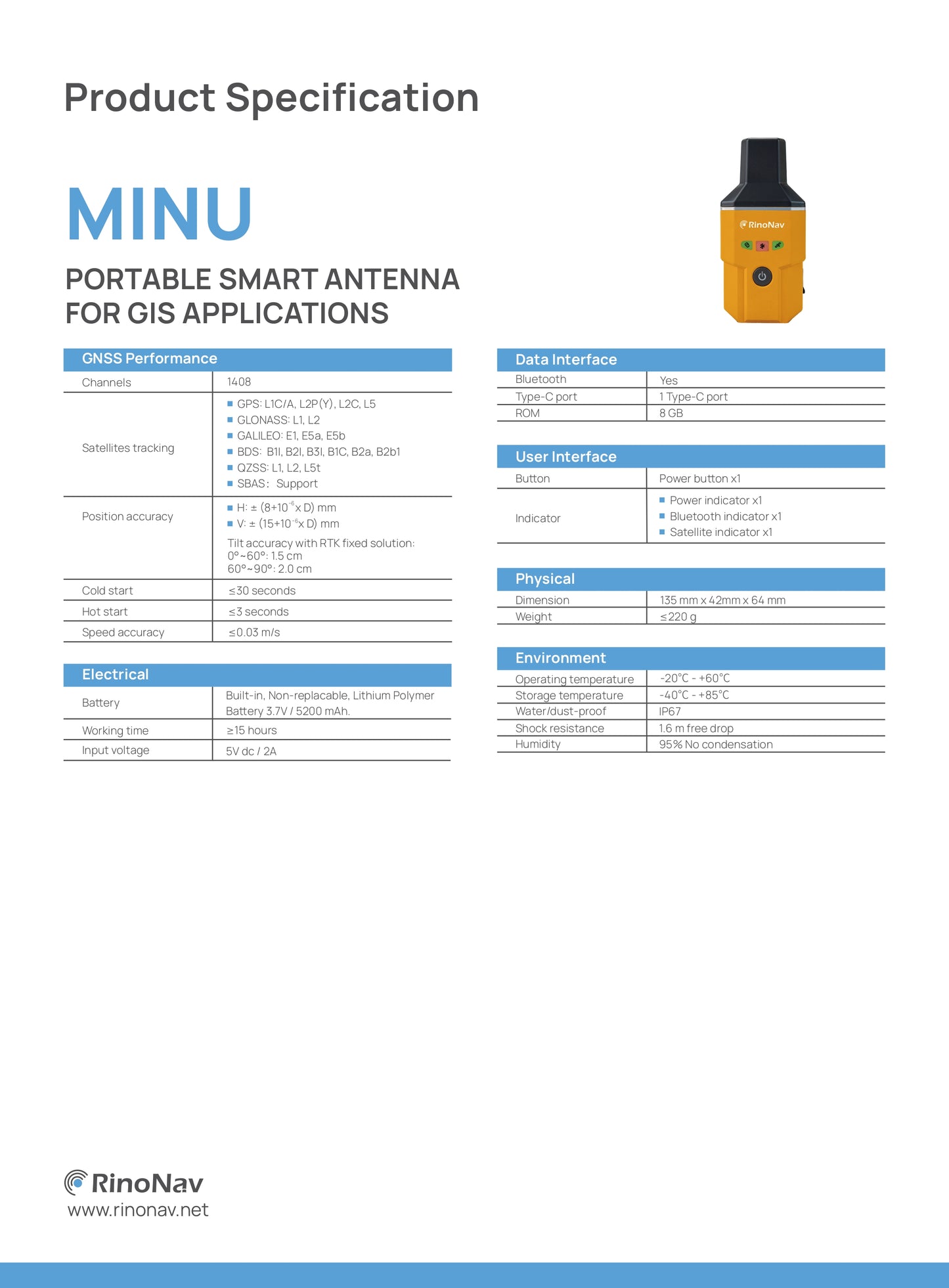
The MINU supports BDS/GPS/GLONASS/Galileo/QZSS satellite systems,provides comprehensive GNSS signal tracking,has 1408 channels and fully supports BDS-3.
Ideal for various applications
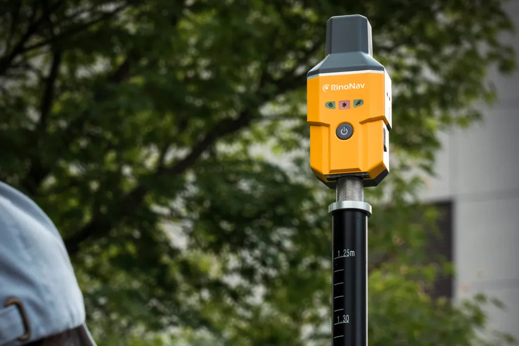
The MINU is suitable for various surveying and staking tasks,for example for road construction,power line surveyingor CAD applications.
RTK positioning with all-in-view
Equipped with a high-precision GNSS module, the MINU supports centimeter-accurate positioning with CORS difference data.Look forward to lightning-fast fixed point determination,cold start ≤ 30 seconds,warm start ≤ 3 seconds and up to 50% more efficiency.
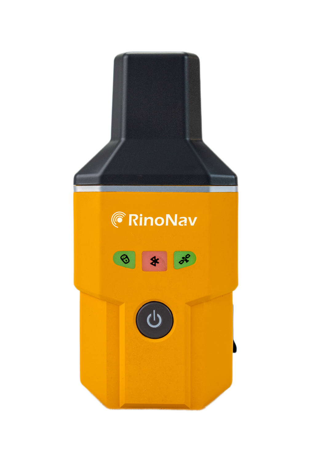
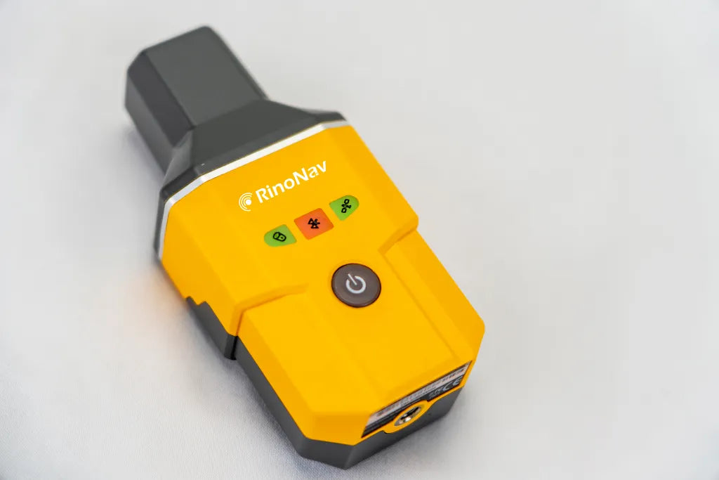
Robust, compact and portable design
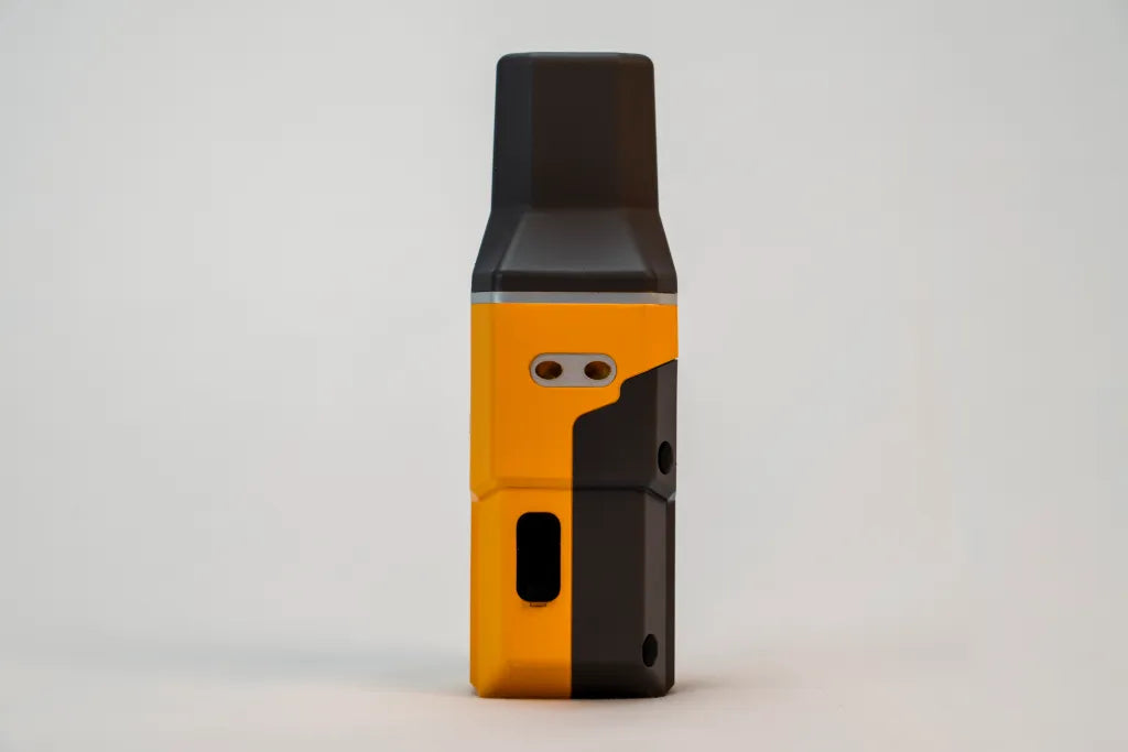
The MINU is designed for use in the most difficult environments.It has excellent heat dissipation and weighs only 220g,making it ideal for mobile surveying.Thanks to its IP67 rating, the MINU offers the highest level of dustproofing and can withstand low-pressure water jets from all directions.Carry the MINU in a armband case or shirt pocket with the metal clip on the back,or use an external connectorto attach it to a telescopic pole - benefit from flexible carrying modesto make your work even easier.
Download data sheet (English) https://cdn.shopify.com/s/files/1/0831/8284/6275/files/RinoNav_MINU_Datasheet_with_Tilt_-V1.2-ENG_1.pdf?v=1718958174https://cdn.shopify.com/s/files/1/0831/8284/6275/files/RinoNav_MINU_Datasheet_with_Tilt_-V1.2-ENG_1.pdf?v=1718958174https://cdn.shopify.com/s/files/1/0831/8284/6275/files/RinoNav_MINU_Datasheet_with_Tilt_-V1.2-ENG_1.pdf?v=1718958174