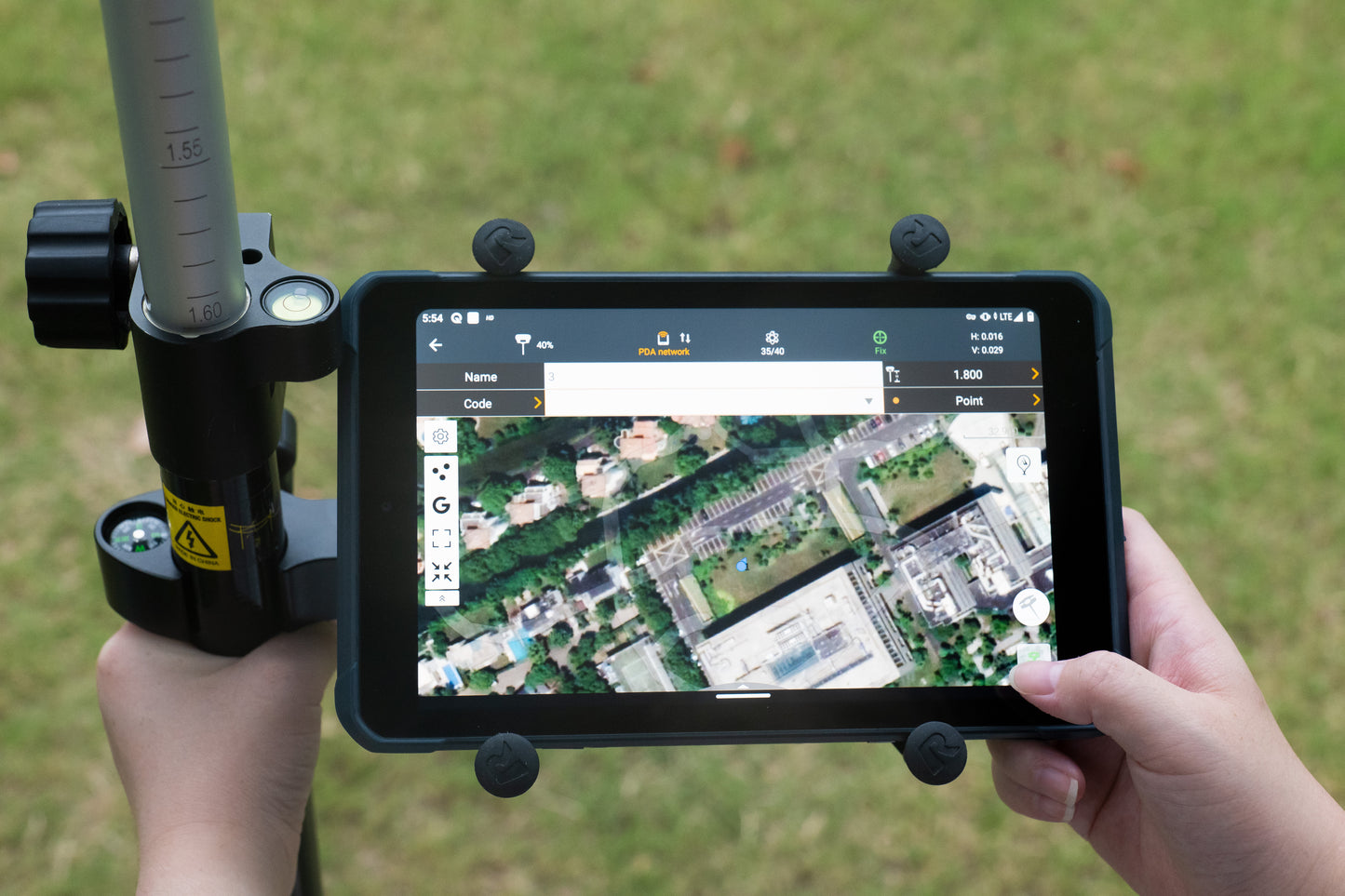
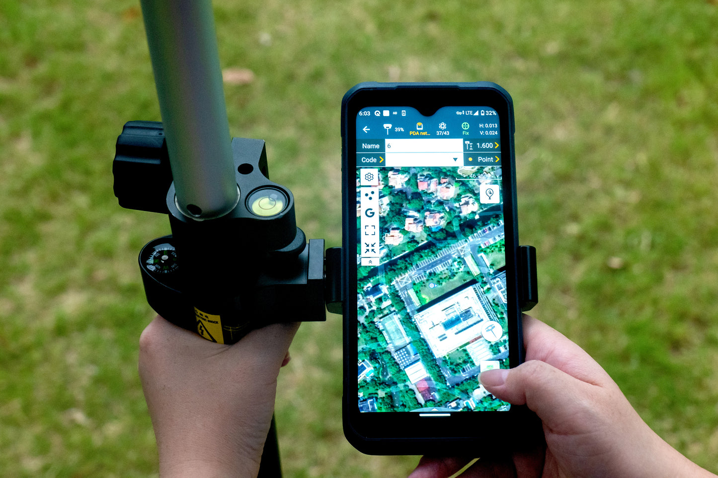
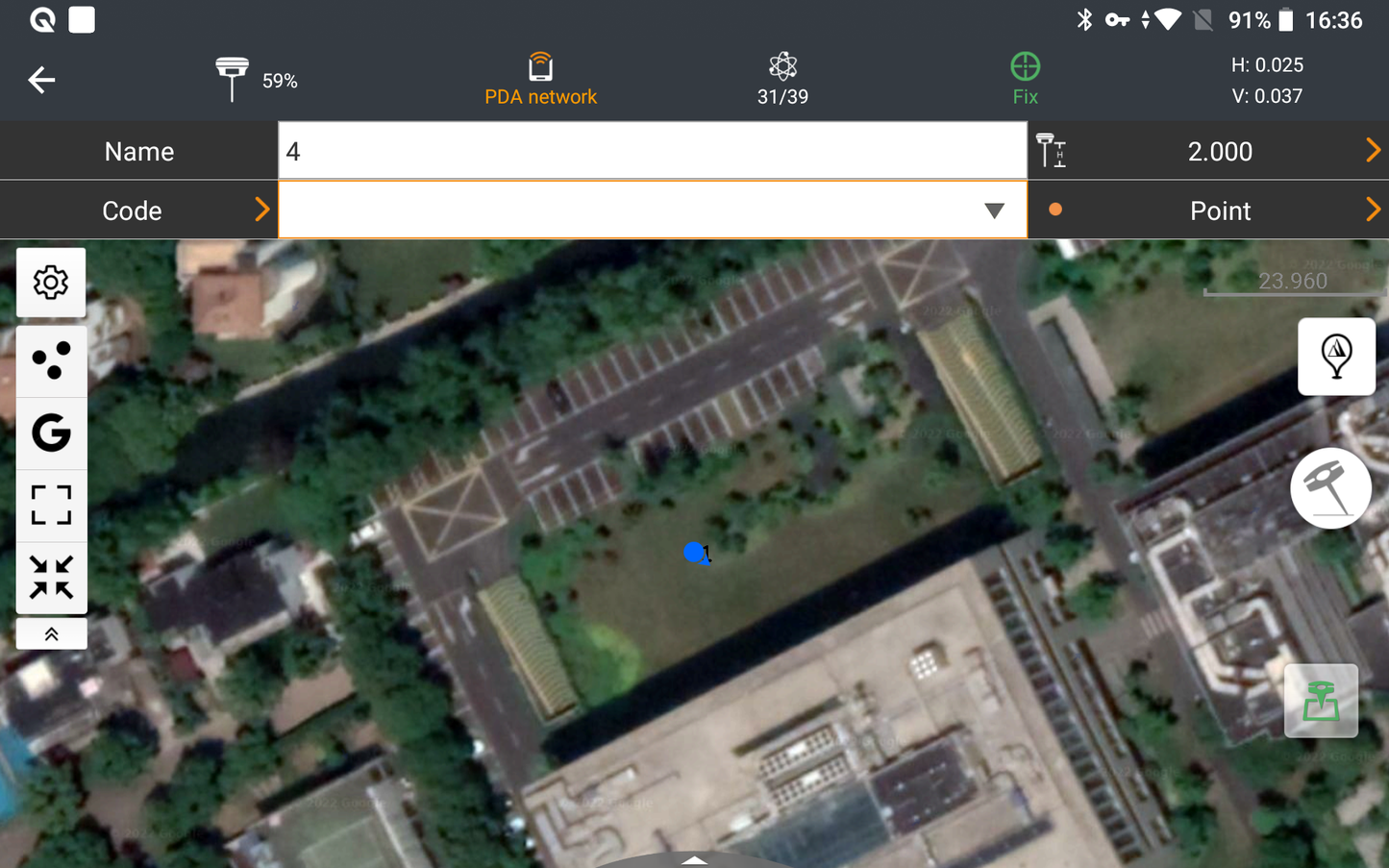
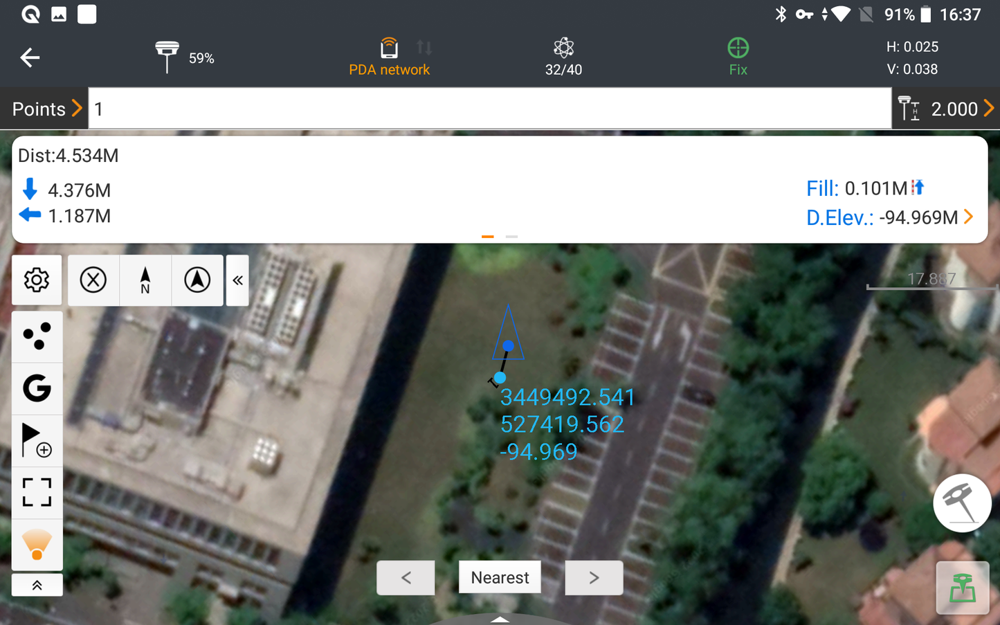
Simple project management:
-
Easily transfer coordinates, control and staking points from other devices via QR code
- Sort and edit projects by history and attributes
-
User-defined coordinate systems and geoid models
- Location Calibration Assistant for Inexperienced Users
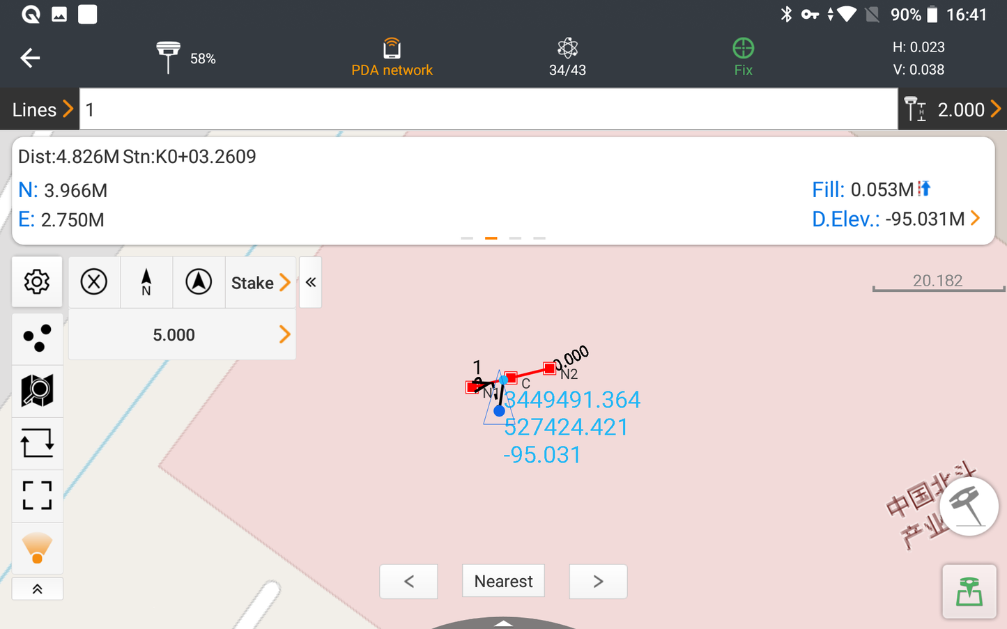
Fast and smooth map display:
- Proprietary MetaCAD engine opens DWG and DXF files in seconds
- DXF files up to 200 MB in less than 10 seconds on the device
- "Quick Code" for one-click feature coding and automatic creation of line elements
-
Opening external reference files, automatic CAD entity recognition and editing CAD maps in the field.
Advanced cloud connectivity:
-
Cloud integration for project backups, collaboration and data storage
- Remote support from the office helpdesk for user issues
-
"Share Code" function for fast data transfer between office and field or between field devices
Note: Licensing is hardware-related via an activation code. The license is transferable to other hardware.