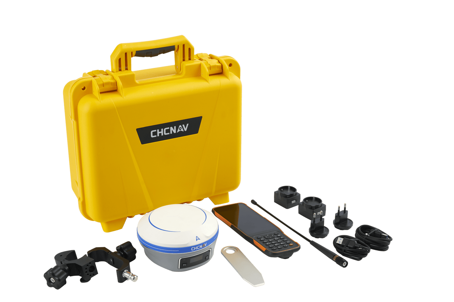
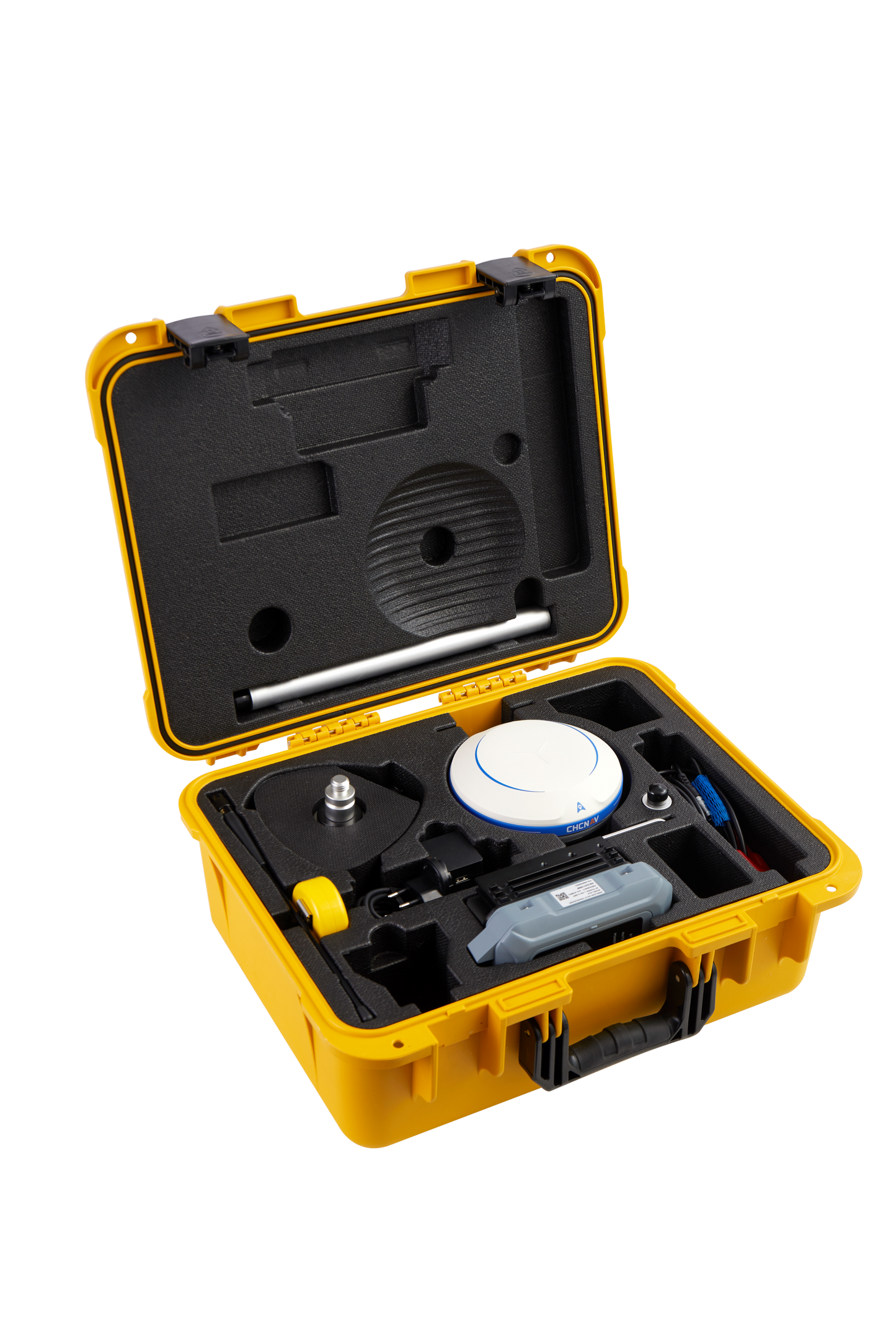
CHCNAV i93 BARGAIN
CHCNAV i93 BARGAIN
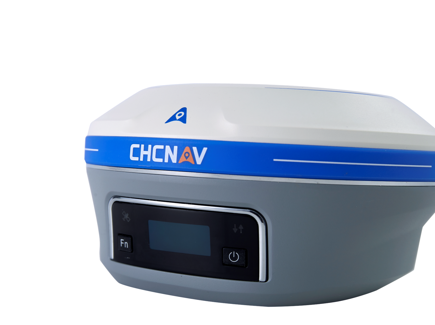
Brand new RTK rover with photogrammetry
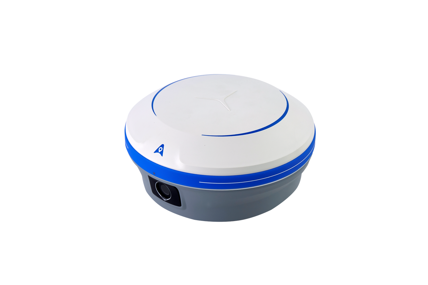
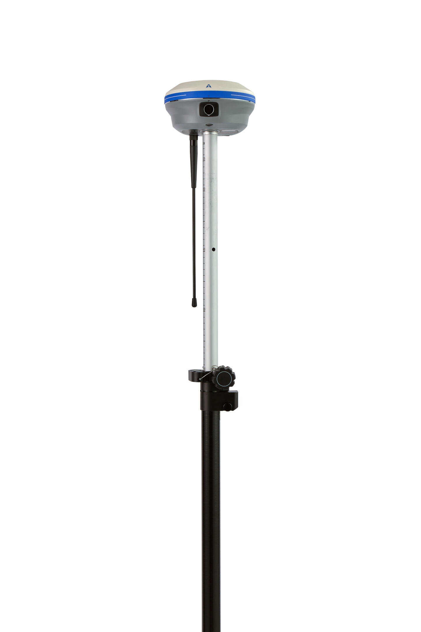
The i93 VISUAL IMU-RTK GNSS receiver is an extremely versatile GNSS-RTK receiver that integrates the latest GNSS, IMU and dual-camera video photogrammetry technologies for a particularly user-friendly operation. By integrating the latest visual navigation and stakeout technology from CHCNAV, 3D visual capture offers unmatched ease of use and convenience, increasing efficiency on any construction and surveying project.
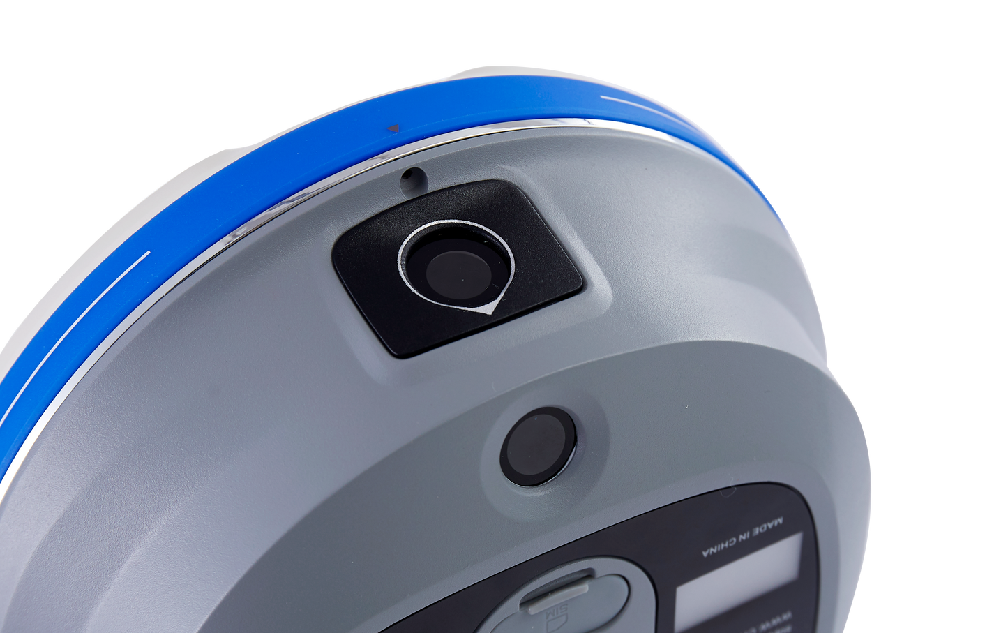
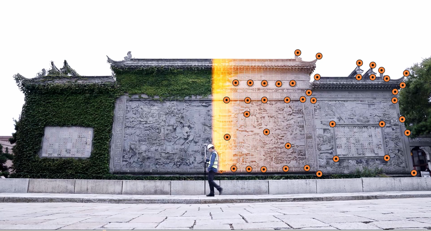
In addition, the i93's video photogrammetry technology enables precise visual surveys, simplifying point measurements without complex offset methods and enabling surveying of previously difficult to reach, signal-obstructed and dangerous areas. The i93 can also be used to complement aerial surveys created from oblique images, as its data is compatible with most popular 3D modeling software.
The i93 receiver is based on the innovative CHCNAV iStar GNSS RTK algorithm, numerous multi-band GNSS channels and a hybrid engine that ensures reliable, easy-to-use and highly accurate positioning even in the most difficult site conditions. The i93 also features a high-end Auto-IMU that maintains high accuracy throughout the project, simplifies manual initialization and facilitates survey work in the field.
With its advanced features and cutting-edge technologies, the i93 is the ideal solution for professionals who want to complete surveying, engineering and construction tasks faster, more accurately and more efficiently than ever before.
1408 channels, iSTAR and hybrid engine
Improved GNSS RTK performance in challenging environments
The i93 GNSS receiver has 1408 channels tracking all constellations and frequencies. It is powered by an integrated RF SoC processor and iStar CHCNAV technology. With a 15% improvement in GNSS RTK performance in the field of surveying in difficult environments, the i93 delivers reliable and accurate positioning data. The integrated hybrid engine and proprietary narrowband interference minimization technology increase GNSS data quality and signal tracking capabilities by more than 20%, ensuring the best possible GNSS RTK performance for any application.
VISUAL NAVIGATION AND STAKEOUT
Effortless one-step staking at a glance
The i93 integrates star-level cameras to provide an immersive 3D navigation and stakeout experience. With the 3D view of LandStar software, surveyors are guided by a clear, eye-catching directional arrow and real-time distance with the stakeout point marked directly on the ground. In addition, 3D visualization capabilities are also available for line stakeout and CAD-based map stakeout, making the work equally effortless, intuitive and efficient. This simplifies the stakeout process, enables quick completion in seconds and increases efficiency by up to 50% for less experienced field workers.
VISUAL MEASUREMENT AND 3D MODELING
Simple measurements: see accuracy in 3D
The i93 is a state-of-the-art surveying tool that combines GNSS, IMU and two premium global shutter cameras with video photogrammetry technology. It delivers survey-grade 3D coordinates from real-world video footage in seconds, making it easy to survey previously hard-to-reach, signal-disturbed and dangerous points in the field, such as under overpasses, under roof overhangs and near utility poles. With its dynamic panoramic video recording and automatic image matching, the i93 increases productivity by up to 60%. Automatic high-speed burst shooting and the generation of adjacent images with up to 85% overlap ensure high processing success. Surveyors who value simplicity, speed and accuracy will find the i93 an ideal tool.
FAST, RELIABLE INDUSTRIAL AUTO-IMU
Reliable accuracy with automatic IMU initialization
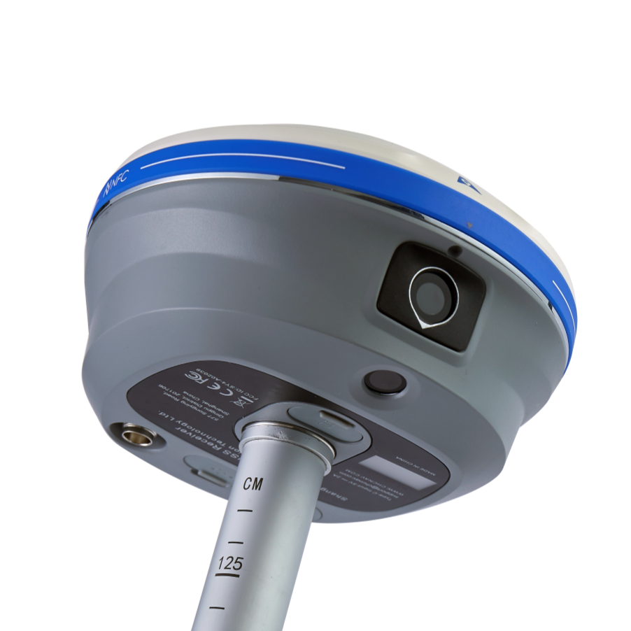
The i93 GNSS features CHCNAV's state-of-the-art 200 Hz Auto IMU, which eliminates the need for manual initialization and simplifies survey work in the field. Since IMU corrections are available even when the staff is shoulder-worn, hand-held, or placed horizontally, the i93's IMU-RTK technology for automatic staff tilt compensation can increase the speed and efficiency of surveying, engineering, and mapping work by up to 30%. Measuring and staking with survey accuracy at staff tilts of up to 60 degrees is fast, easy, and highly productive, making the i93 the perfect solution for engineers, site managers, and surveyors.
DESIGNED FOR VERSATILE FIELD USE
Uninterrupted operation in all RTK modes
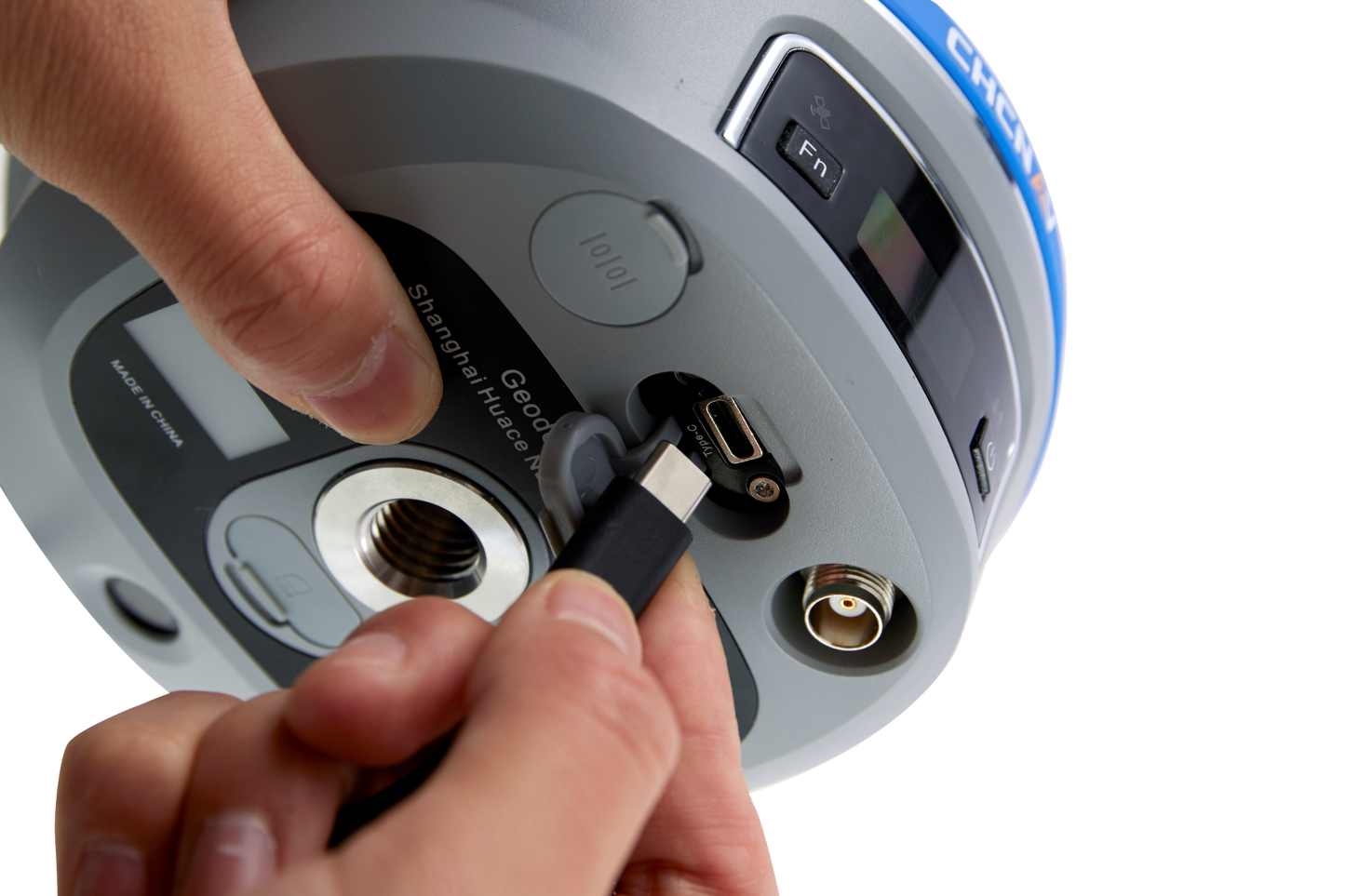
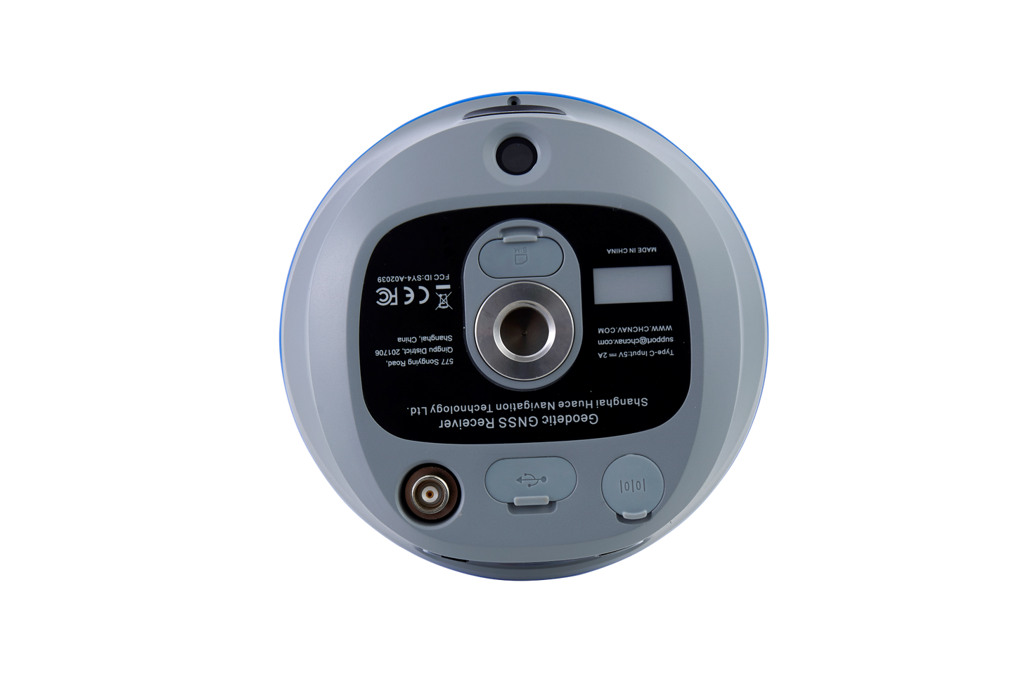
The i93 has all the connectivity features a surveyor needs to complete any GNSS survey project. Built-in Wi-Fi, Bluetooth and NFC enable seamless connectivity with field data controllers and tablets. Built-in 4G and UHF modems support all GNSS survey modes. Intelligent power management ensures up to 34 hours of operation as a GNSS RTK network rover, eliminating the need for spare or external batteries. No matter where or when, the i93 GNSS's magnesium alloy housing is shock, dust and water resistant, guaranteeing uninterrupted performance.
For those looking for the best possible performance at an unbeatable price... this is your choice!