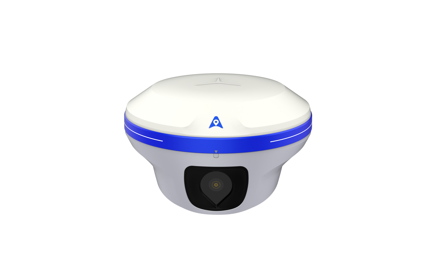
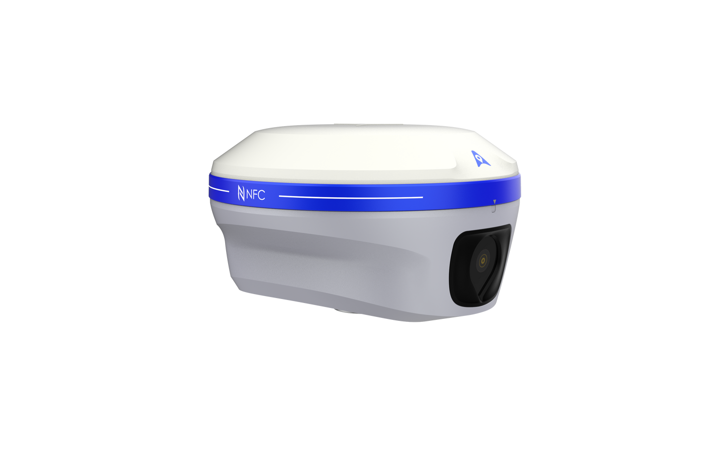
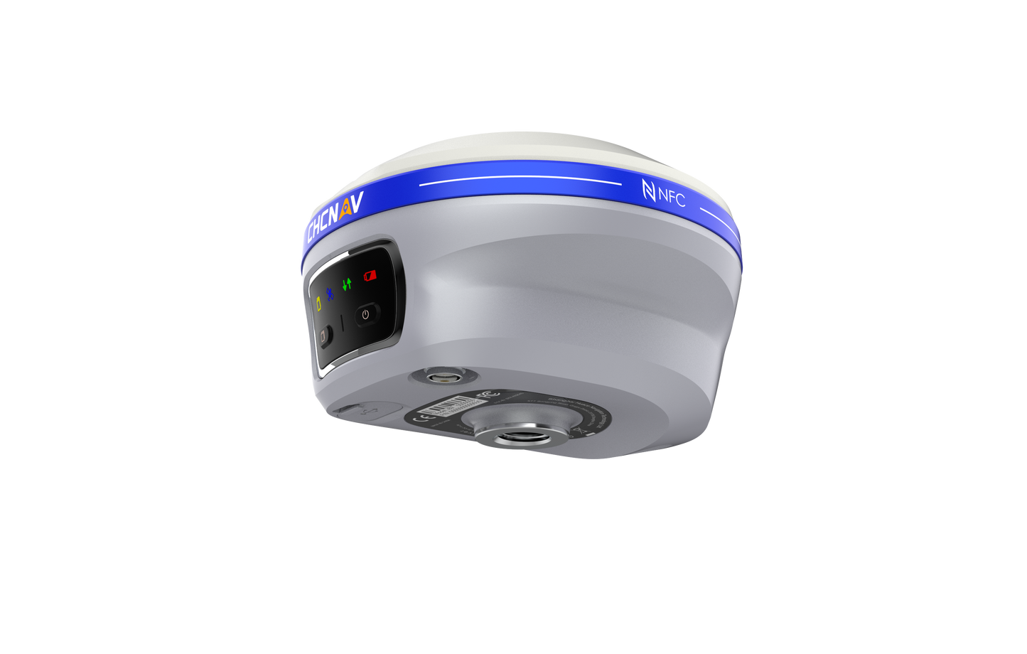
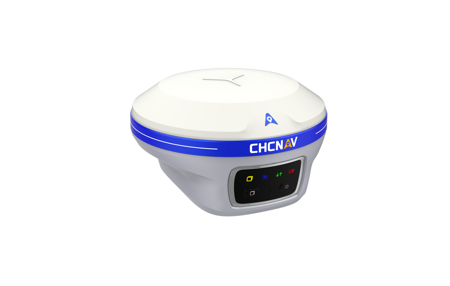
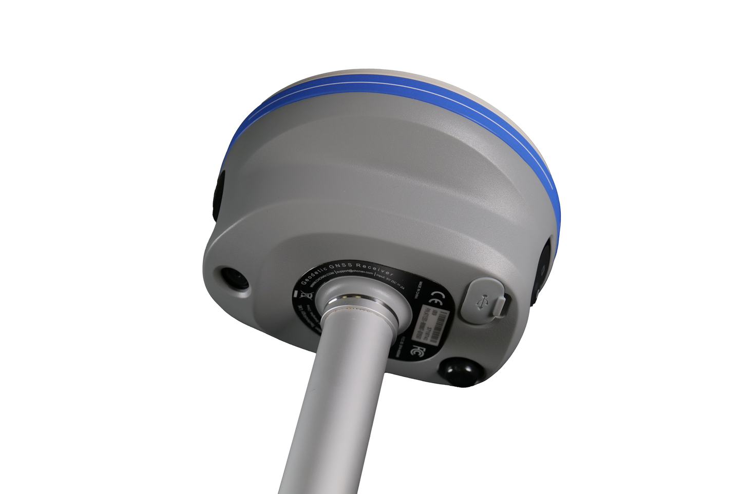
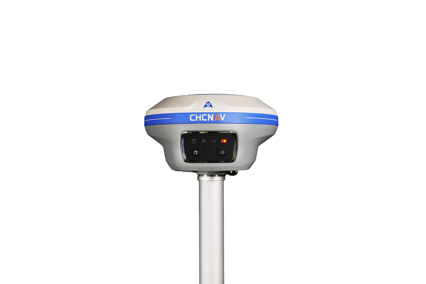
CHCNAV i89
CHCNAV i89
i89 Visual IMU GNSS
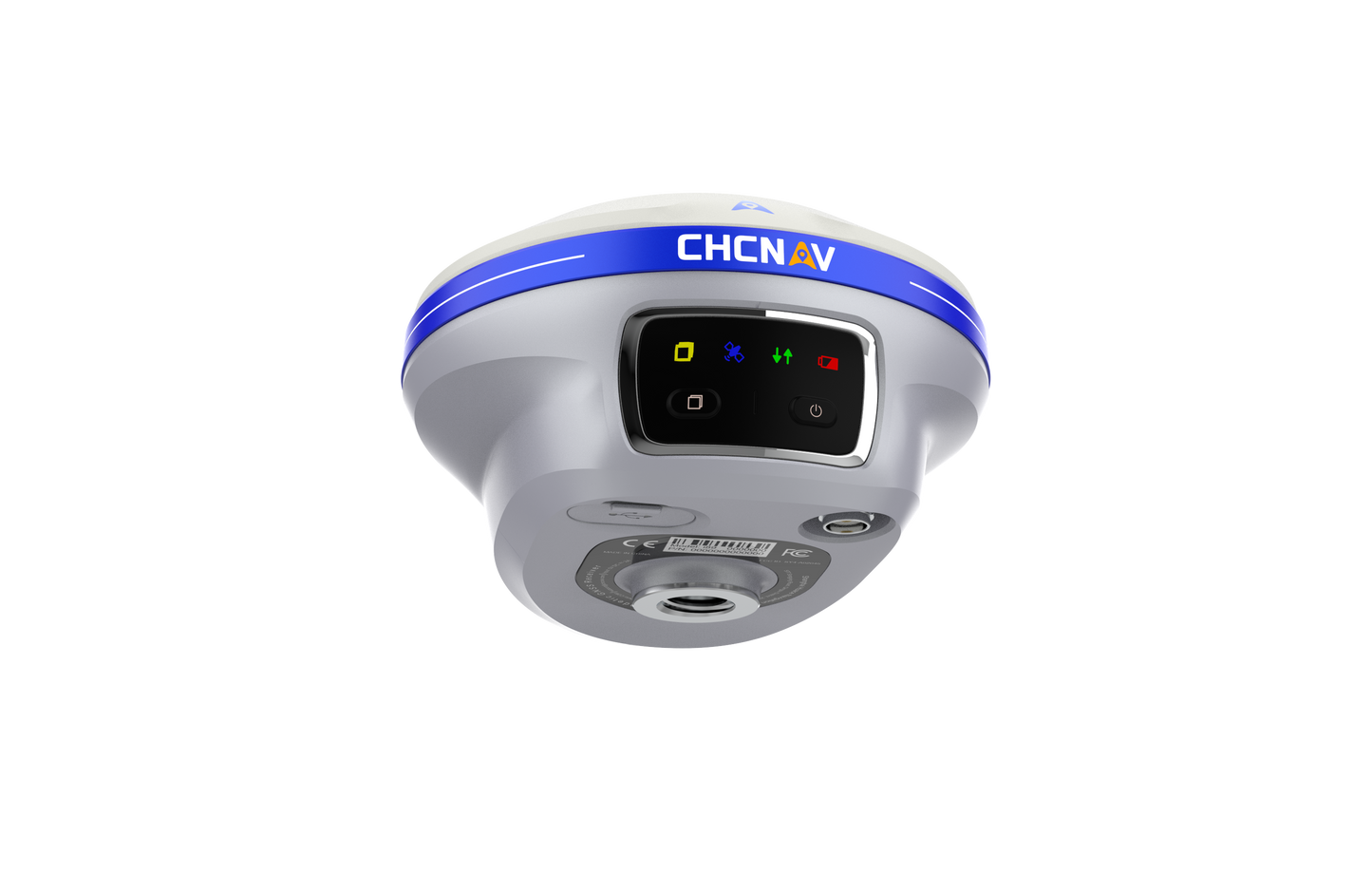
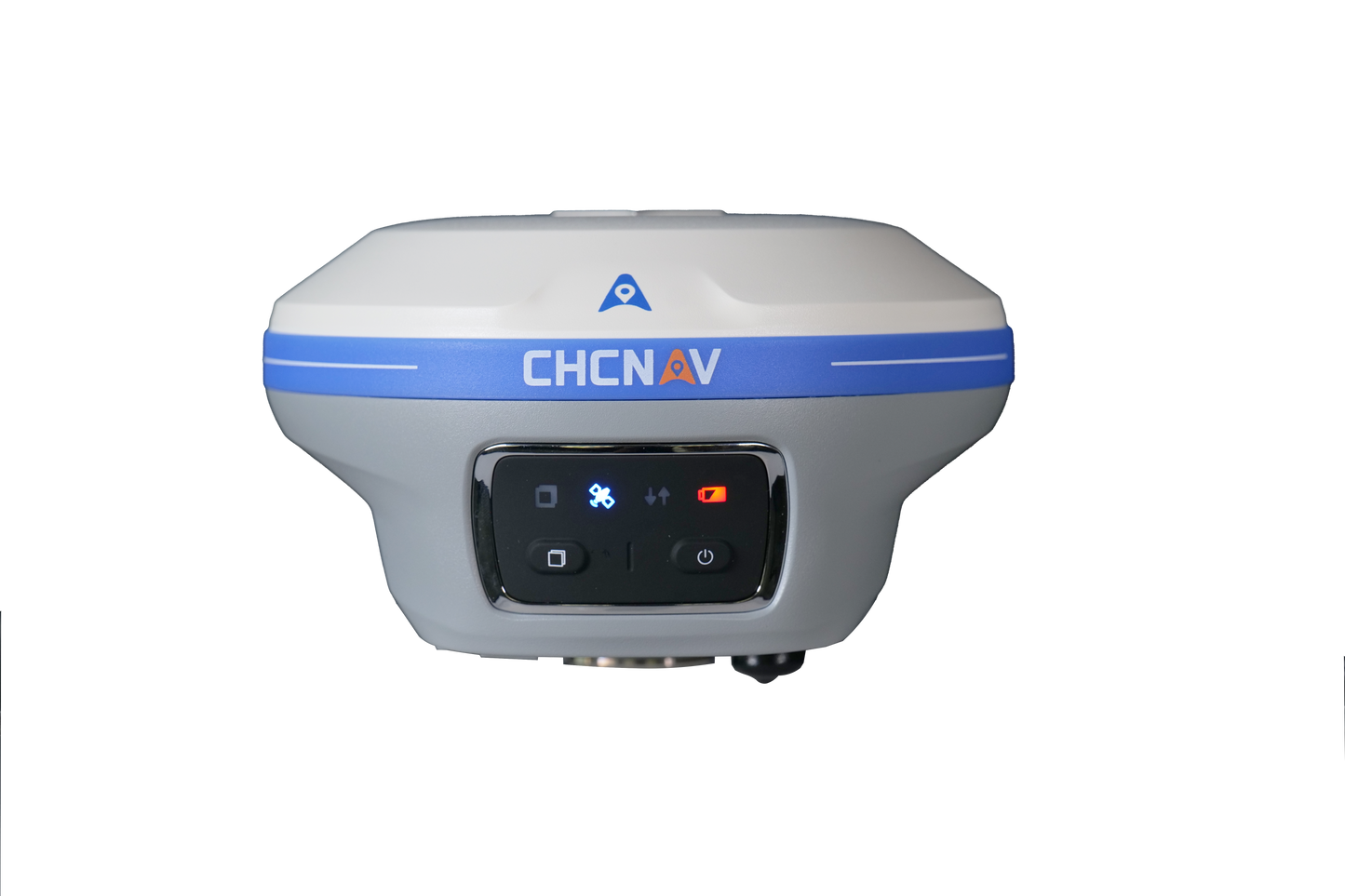
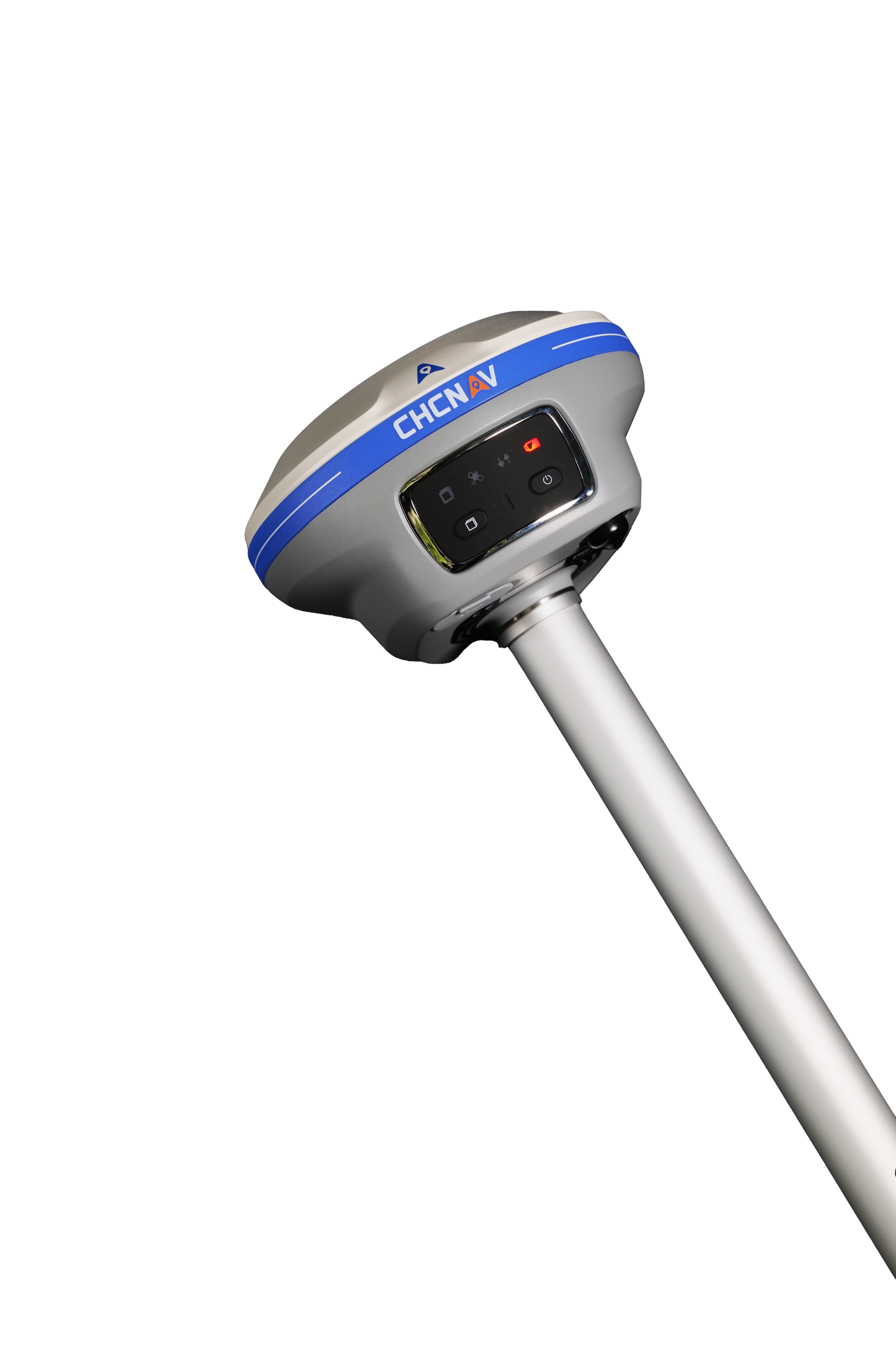
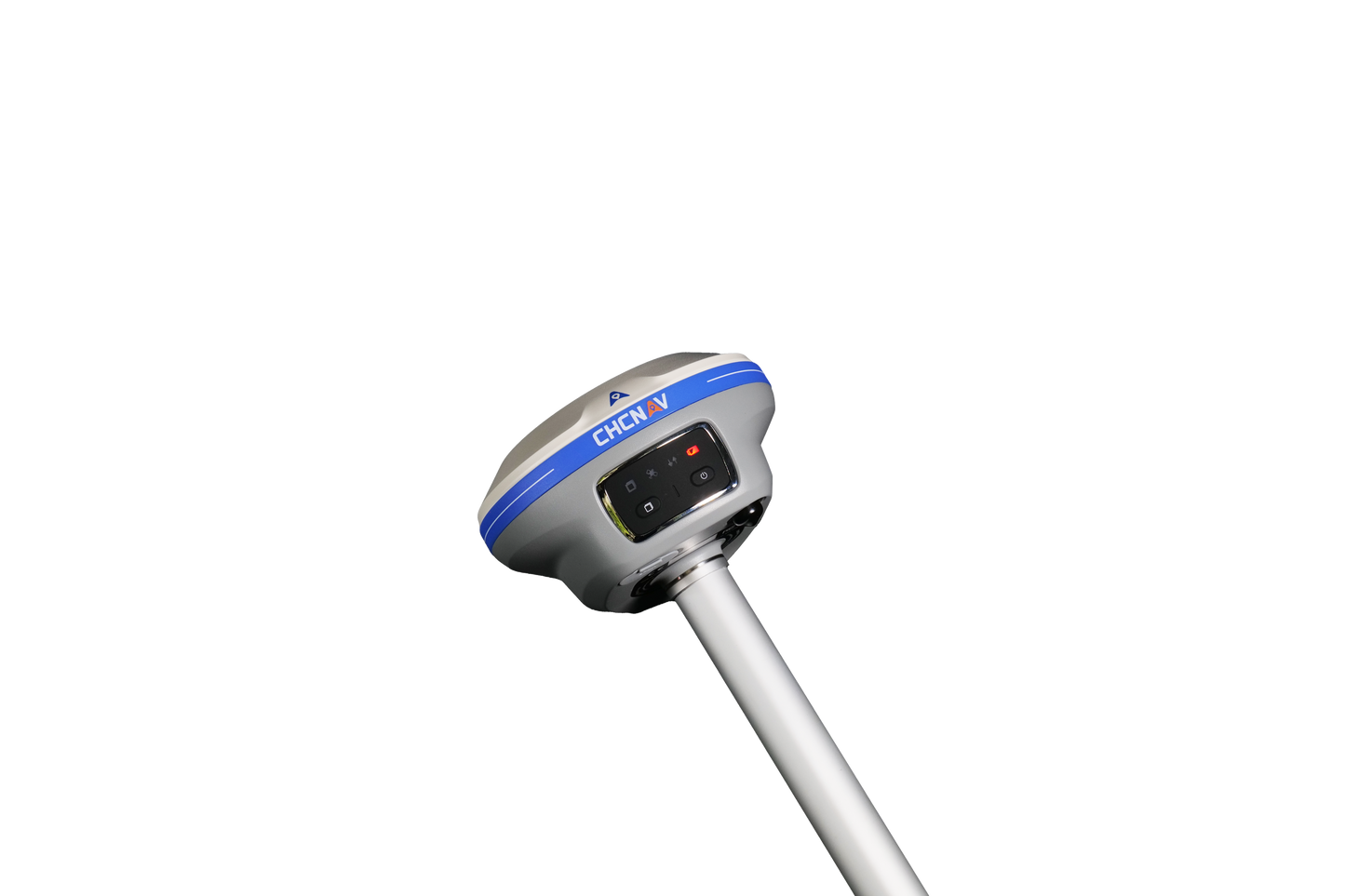
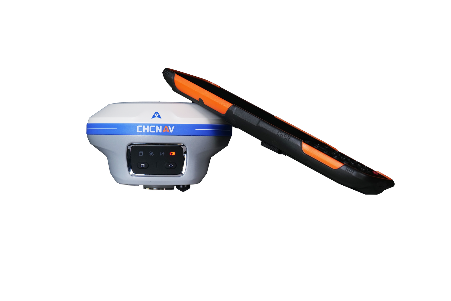
The i89 Visual IMU GNSS is a compact survey tool equipped with a 1408-channel GNSS module for improved RTK availability even in challenging environments. The CHCNAV iStar2.0 software includes advanced ionospheric modeling algorithms that enable high integrity RTK fix rates, especially important in regions with strong solar activity. The AUTO-IMU technology eliminates manual initialization and optimizes field use for increased efficiency. In addition, the i89 offers an impressive 16.5 hours of battery life and a lightweight design with a weight of 750g to maximize productivity in everyday survey tasks.
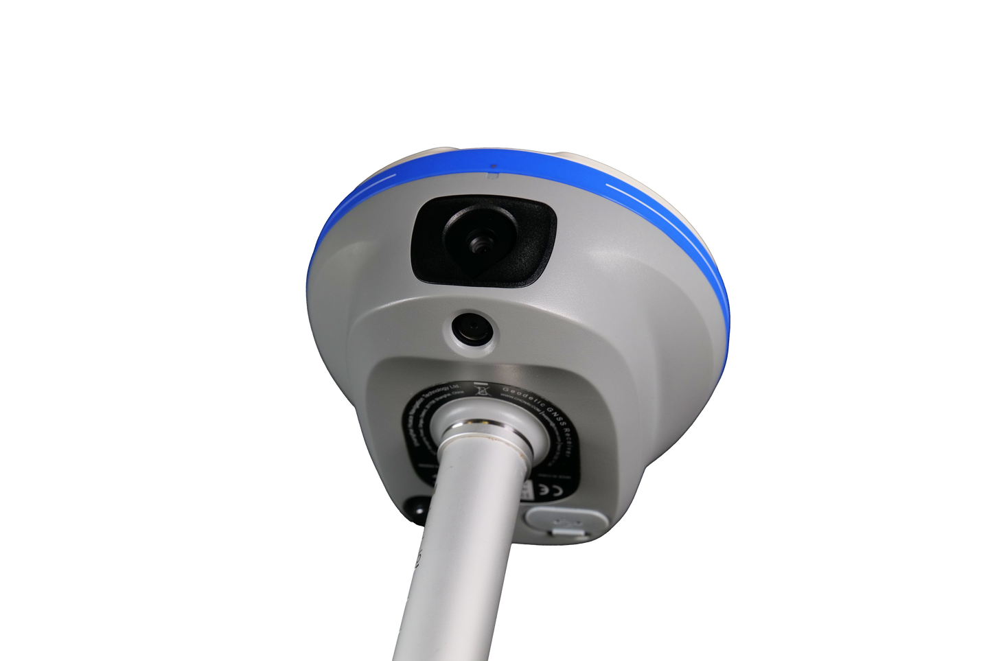
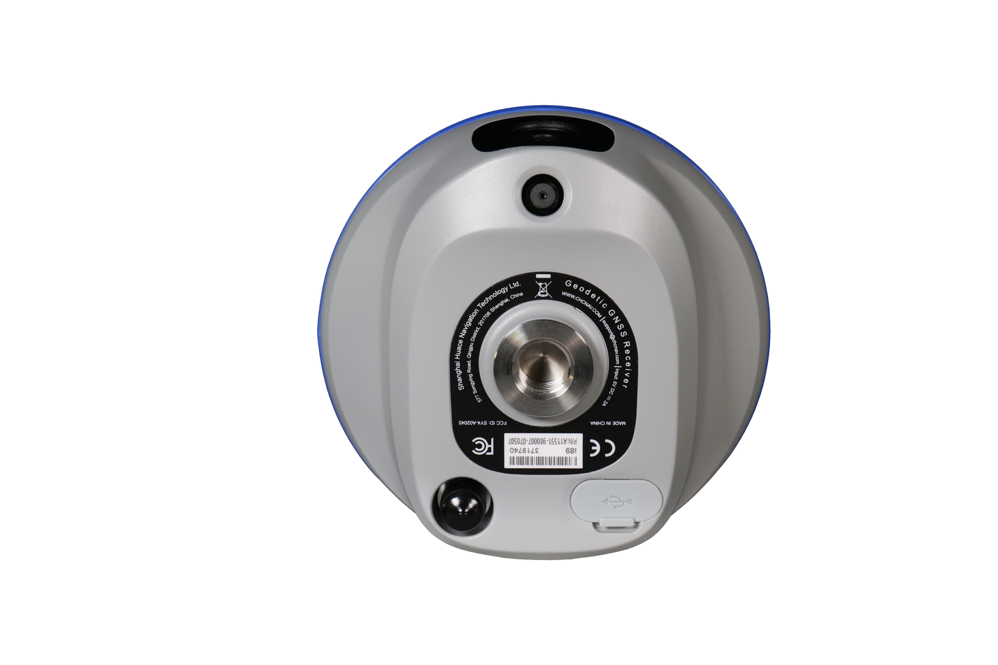
Visual measurement
The i89 offers visual surveying capabilities that enable precise 3D coordinate extraction from real-world videos. This simplifies measurements in locations with signal obscuration, limited accessibility, or safety concerns. The combination of panoramic capture mode and integrated IMU significantly improves the accuracy and efficiency of photogrammetric surveys.
Increased efficiency in the field
Integrated AR navigation and stakeout capabilities can halve operator workload, regardless of field experience.
iSTAR 2.0 & Ionospheric Mitigation
Fix rate over 96% in ionospherically active regions
The i89 GNSS system offers unmatched performance with its 1408 channels and integrated SoC for full constellation tracking. Robust algorithms increase the fix rate by 15%, even in harsh environments. CHCNAV iStar2.0 with ionospheric interference suppression technology provides an outstanding 96% fix rate, ideal for low latitudes with high ionospheric activity. Narrowband multipath mitigation ensures accurate RTK measurements and the hybrid GNSS engine provides unmatched accuracy and reliability.
AR navigation & staking
Up to 50% time savings for less experienced operators
The i89's AR visual navigation and stakeout simplify field work and enable even inexperienced operators to save up to 50% of time. Tight integration of GNSS, IMU and visual systems makes the i89 10 times more reliable than standard GNSS systems based on gyroscopes. The 1.5 GHz processor enables smooth operation of two cameras, while the adaptive 5.8 GHz Wi-Fi ensures fast transfer of AR data. Virtual Pole Tip™ (VPT™) technology enables real-time visualization of points over the CAD project design. Versatile AR stakeout supports a wide range of applications including linear stakeout, CAD-based stakeout, boundary marking and more.
VISUAL MEASUREMENT AT THE HIGHEST LEVEL
Precise measurement of previously inaccessible points
The i89 revolutionizes GNSS surveying with visual support, allowing you to take precise measurements even in hard-to-reach or dangerous places, or where the signal is obscured. The i89's high-quality cameras extract survey-grade 3D coordinates from real-world videos, providing efficiency and reliability. The dynamic panorama capture mode with 85% overlap increases efficiency by 60% and ensures exceptional accuracy. The integration of high-precision IMU data into the video photogrammetry algorithm significantly improves point measurement performance.
AUTO-IMU TECHNOLOGY
Efficiency and precision in every measurement
The i89's integrated, interference-resistant 200 Hz Auto-IMU eliminates the need for manual initialization and delivers reliable measurements. Automatic tilt compensation guarantees an accuracy of up to 3 cm at a tilt angle of up to 60 degrees. This saves you up to 30% time while maintaining the same accuracy.
16.5 hours of battery life & IP68 housing
Long battery life, efficient and robust
The i89's high-energy battery offers up to 16.5 hours of operating time. The intelligent 18 W fast charging enables a full battery charge in just 3 hours, ensuring increased efficiency and extending the operating time even further. The compact design weighs just 750 grams and combines GNSS, IMU and two cameras in one handy receiver thanks to optimal camera integration , reducing volume and height. The device is dustproof according to the IP68 standard and can withstand falls from a height of 2 meters.
Efficient 3D modeling
Seamless 3D modeling for a wide range of applications
The i89's video photogrammetry algorithms enable 3D modeling of buildings, facades and monuments. The system enables efficient 3D modeling of large areas by merging drone and GNSS RTK data. Typical distortions that occur with drone cameras are effectively avoided. In addition, the i89's compatibility with industry-standard 3D modeling software offers maximum flexibility and user-friendliness.